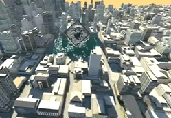
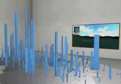
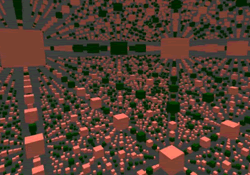
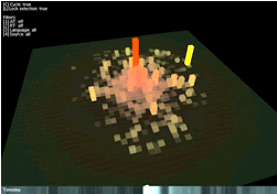
Below we provide full details for 2012 entry on the new MRes in Advanced Spatial Analysis and Visualisation (ASAV). The course reflects the current state of play in geographic, urban and architectural information systems with an emphasis on visualisation, analysis and modelling. Taught at the Centre for Advanced Spatial Analysis, home of digital urban, it is an innovative and exciting opputunity to study at UCL with a MRes acting as a pathway to a PhD or further career in ASAV.
Blog Archive
Popular Posts
-
Digital Urban is moving from blogger, over the next few hours the domain will point to a new server hosting us on a WordPress system. Digita...
-
L. Teresa Guevara and Luis Enrique García PUBLISHED IN THE PROFESSIONAL JOURNAL OF THE EARTHQUAKE ENGINEERING RESEARCH INSTITUTE, EARTH...
-
Our Greeble City Tutorial provides a walk through on how to quickly and easily create a cityscape, complete with custom skyscrapers. Creati...
-
192.com has published the highest resolution imagery of London we have seen. Coming in at a staggering 4cm resolution the imagery is of such...
-
The overall purpose of any scenery style, such as urban landscape designs, is to make an area that inhales with the exact property or home a...
-
L. Teresa Guevara-Perez Published in the Journal of Disaster Research Vol. 5 No. 5 Oct. 2010 Every time an earthquake affects a contem...
-
EN ESPAÑOL Patrick Murphy is a member of the panel of discussion into the Special Session THE ABSTRACT OF HIS PAPER: FORM-BASED DESIGN ASSI...
-
Over the past few weeks we have been exploring e xploring new methods and techniques for visualising data. Developed as part our Masters c...
-
Farmers up and down the place have get cheated by a uncommon new design. Gone are the overalls, wellies and woolly hats, personalized as the...
-
Antonio Aretxabala, Cristina Sanz Building Department, School of Architecture, University of Navarre University Campus, 31080 Pamplona, Nav...

