Below we provide full details for 2012 entry on the new MRes in Advanced Spatial Analysis and Visualisation (ASAV). The course reflects the current state of play in geographic, urban and architectural information systems with an emphasis on visualisation, analysis and modelling. Taught at the Centre for Advanced Spatial Analysis, home of digital urban, it is an innovative and exciting opputunity to study at UCL with a MRes acting as a pathway to a PhD or further career in ASAV.
Showing posts with label Autodesk. Show all posts
Showing posts with label Autodesk. Show all posts
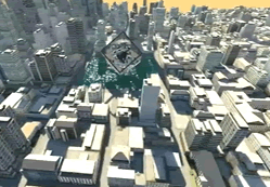
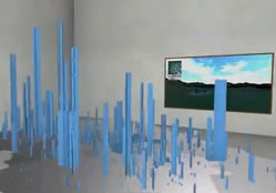
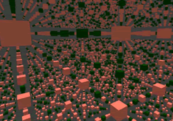
Mattepainting Toolkit: Creating Photoreal Environments in Maya via Multiple Camera Projections
The clip below was shot was modeled, textured, and rendered with the help of the Glyph Software Mattepainting Toolkit. The Mattepainting Toolkit is a newly released plugin suite for Autodesk Maya that allows artists to efficiently manage multiple camera projections for the creation of photoreal environments.
For more information take a look at glyphfx.com/mptk.html, Michael provides series of videos looking at how the toolkit can facilitate the creation of a full-CG environment for a feature film - from a first look it certainly looks impressive and we like the way it has developed out of a specific identified need.
gs_mptk city demo from Glyph on Vimeo.
For more information take a look at glyphfx.com/mptk.html, Michael provides series of videos looking at how the toolkit can facilitate the creation of a full-CG environment for a feature film - from a first look it certainly looks impressive and we like the way it has developed out of a specific identified need.
Free 'City Roads Package' Download for 3D Max
 Our Greeble City Tutorial provides a walk through on how to quickly and easily create a cityscape, complete with custom skyscrapers. Creating a city is all well and good but it is the fine details that brings a 3D city to life, the first of these is the road network.
 Creating a road network in 3D Max is to be honest a tedious process but once they are in place complete with pavements (sidewalks) a basic render can begin to look more city like.
The renders here are from our 'City Roads Package' which is now available as a free download for 3ds MAX, courtesy of us here at digital urban. Complete with 38 high resolution textures the pack includes a series of objects that will snap together to create a grid or path layout.
 Note as a temporary measure the file has been removed due to issues with the textures, we are working hard to resolve this and a new updated file will go online as soon as possible. For the time being a non texture mapped version is available here (.zip file) - it should still be of use as the roads can be snapped togehter to quickly make a city layout for use in our Greeble City tutorial.
If you do use the package we would love to include a render on the blog so do let us know.
Subscribe to:
Posts (Atom)


